WHAT IS DISMAP?
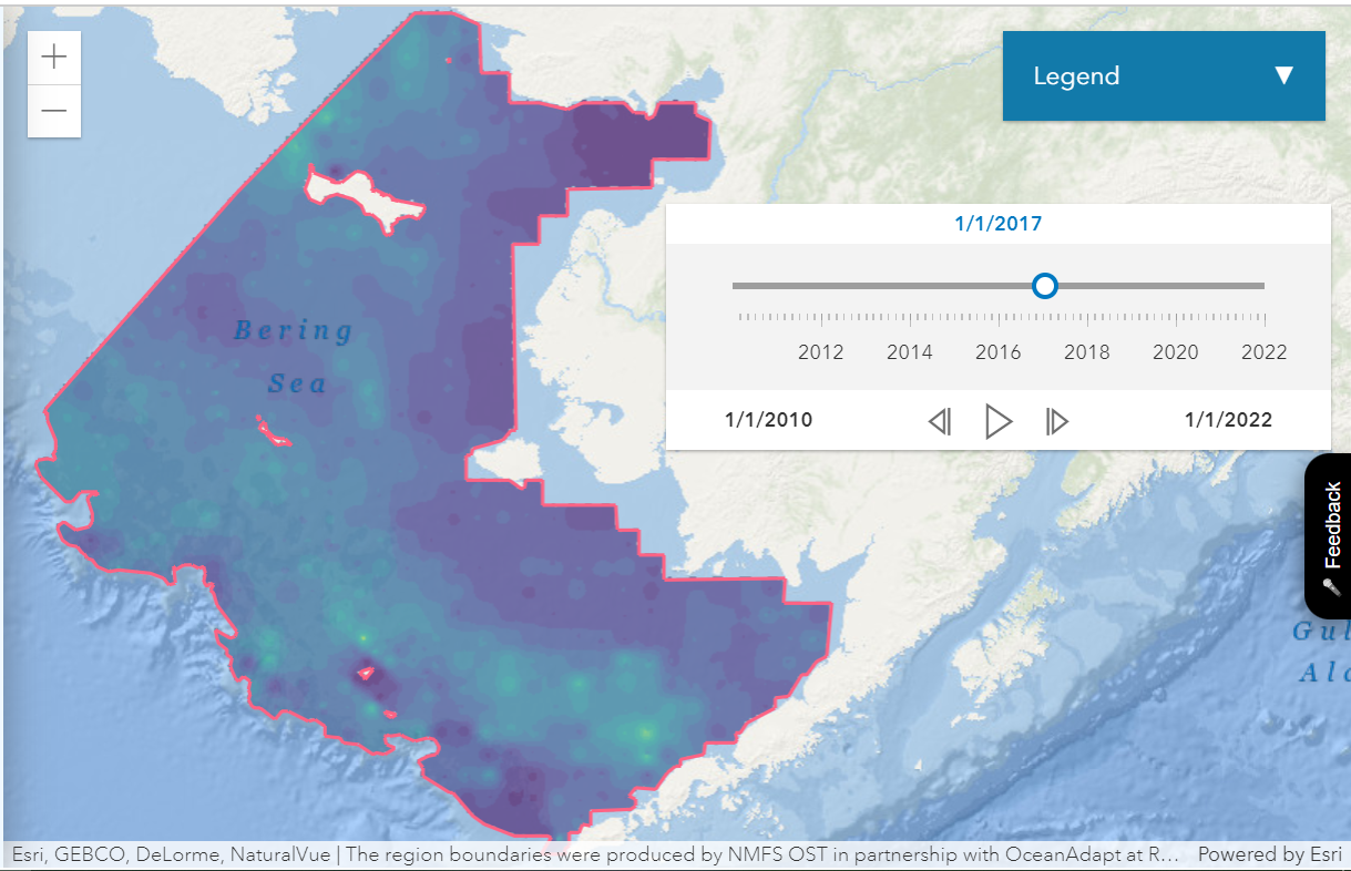
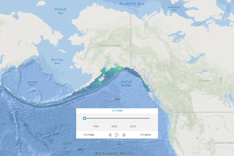
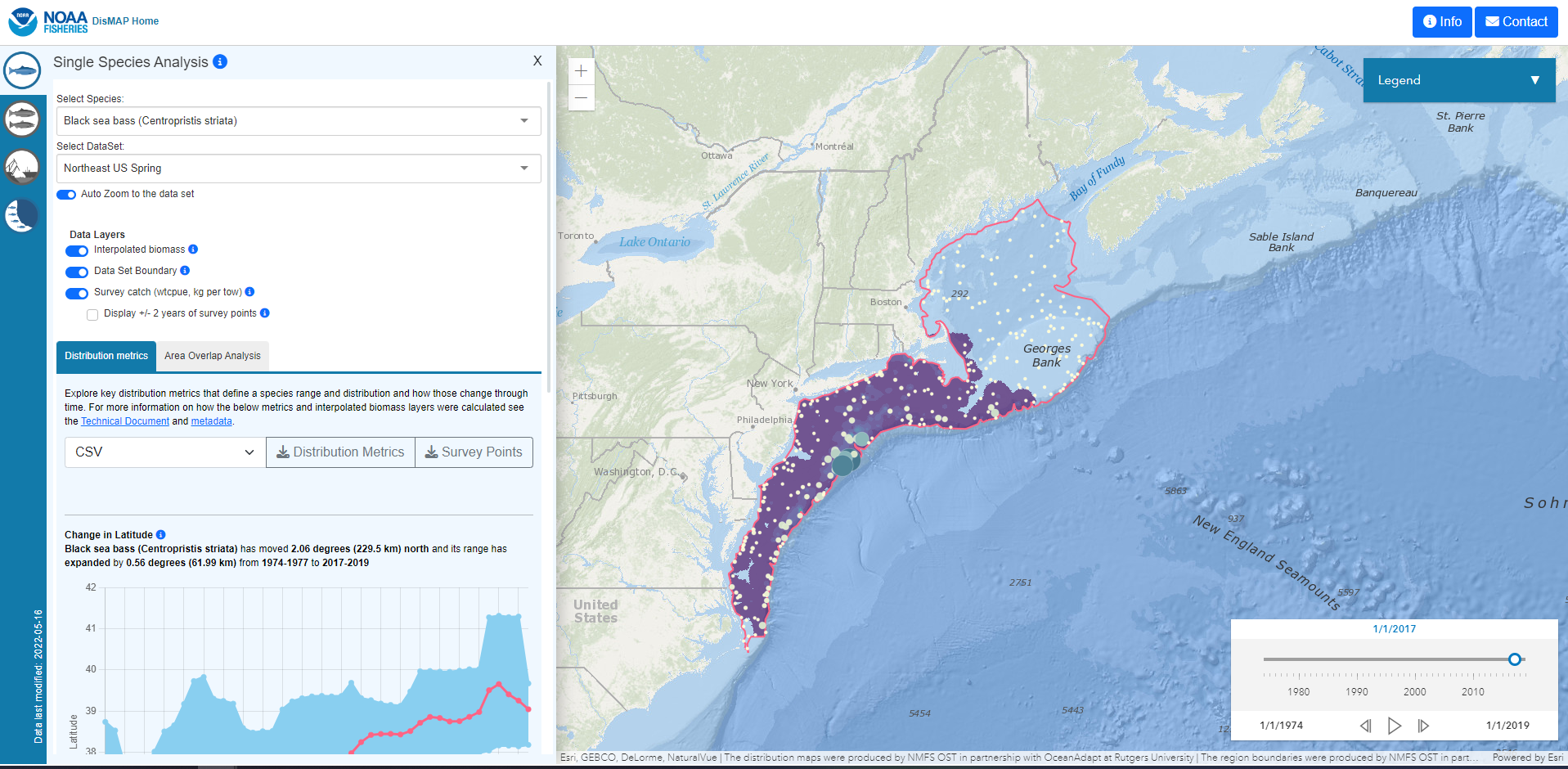
The Distribution Mapping and Analysis Portal (DisMAP) is a user-friendly and interactive website designed to provide visualization and analysis tools to better track, understand, and respond to shifting distributions of marine species. It allows users to examine changes in species distributions over time by exploring their presence/absence within survey data, and modeled distribution maps as well as graphs of key indicators of a species distribution (changes over time in latitude, depth, range limits). This effort grew out of and builds off of the OceanAdapt website, a successful collaboration between the Rutgers University (Pinsky Lab), NOAA Fisheries and Fisheries and Oceans Canada. DisMAP will continue to provide information previously provided by OceanAdapt, and expand to incorporate additional data types, model outputs and functionality over time.
OUR MISSION
- Improve ease of access to and exploration of species distribution data
- Support decision-makers to use this spatial data for insight and informing decisions, such as fishing closed areas, marine protected areas, allocations, stock boundaries, survey designs
- Foster sharing and exchange of practices and ideas among scientists working on species distribution modeling.